blah blah blah
Burton Peak
Length: 2.8 miles out-and-backDifficulty (click for info): Easy
Elevation Gain: 710 feet (+30 feet on return)
Rating (click for info): 5/10
Elevation: 2012'
Prominence: 133'
Driving Directions:
Trailhead is on Temple Road in Sharon, NH. To get there, take Greenleaf Road off the east side of Rt. 123, 1.6 miles north of Rt. 124 and 4.6 miles south of Rt. 101. Drive 0.3 miles down Greenleaf Road and turn left onto Temple Road. Look for a small parking area on the left just after. The trail takes off on the opposite side of the road. Click here for a Google map.
About the Hike:
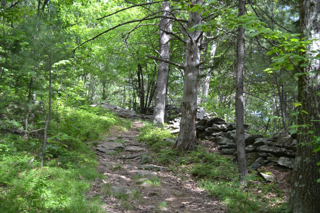
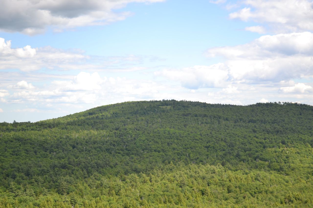
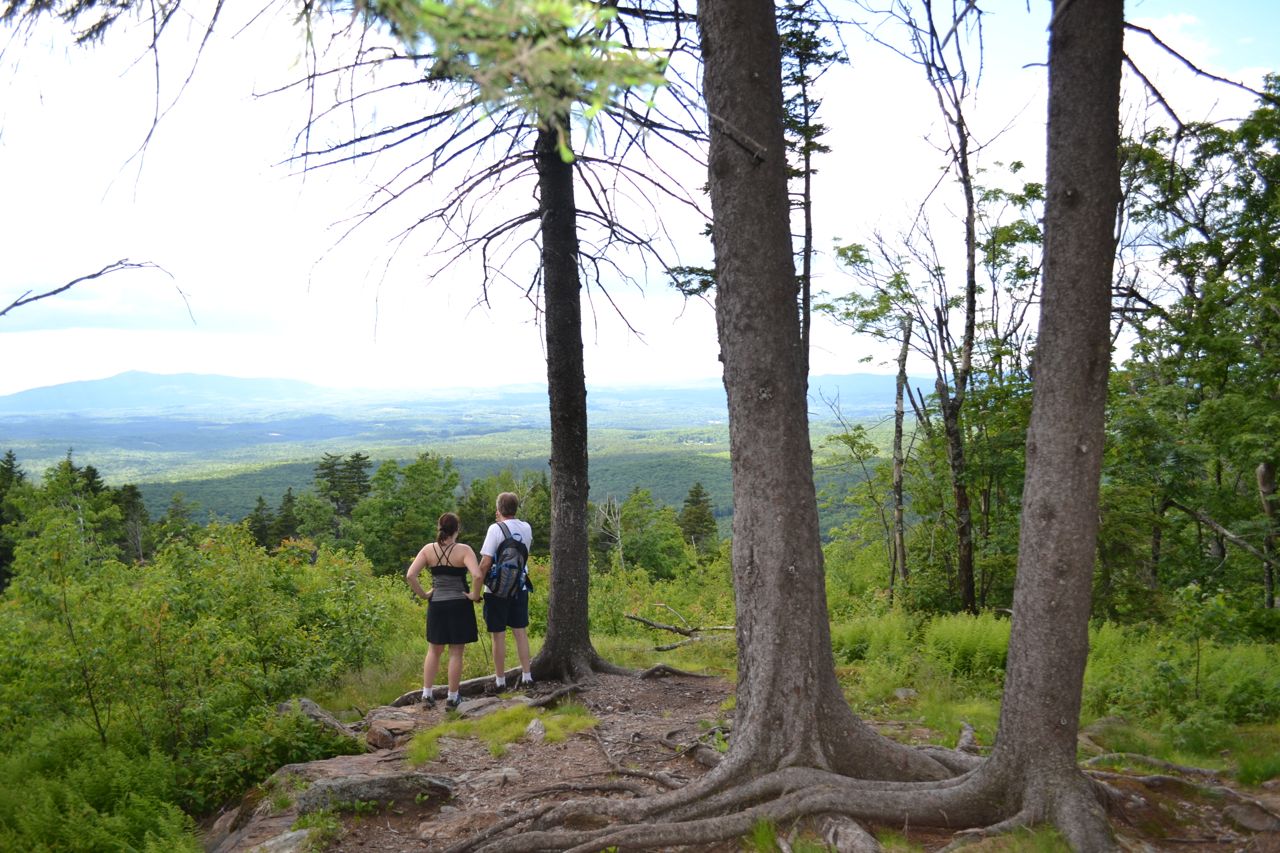
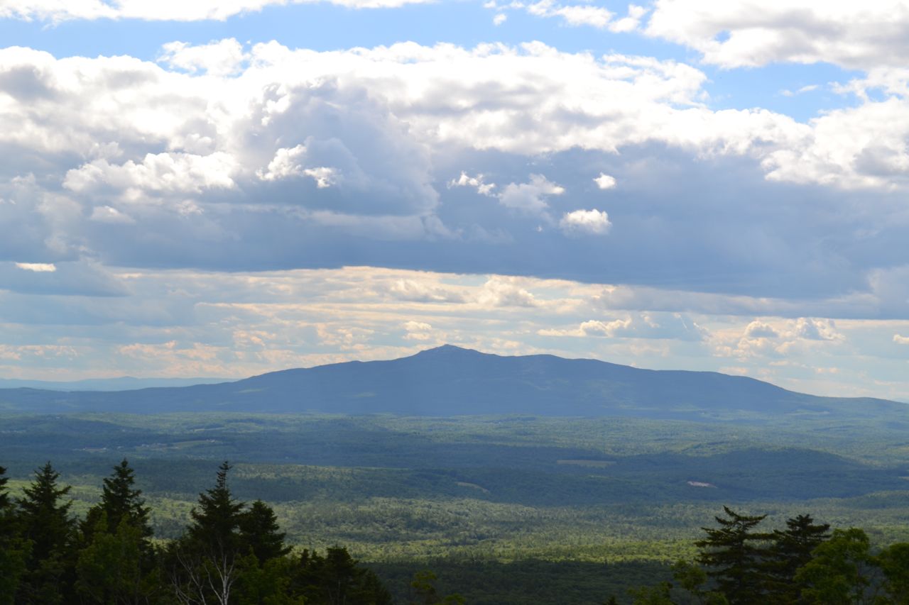
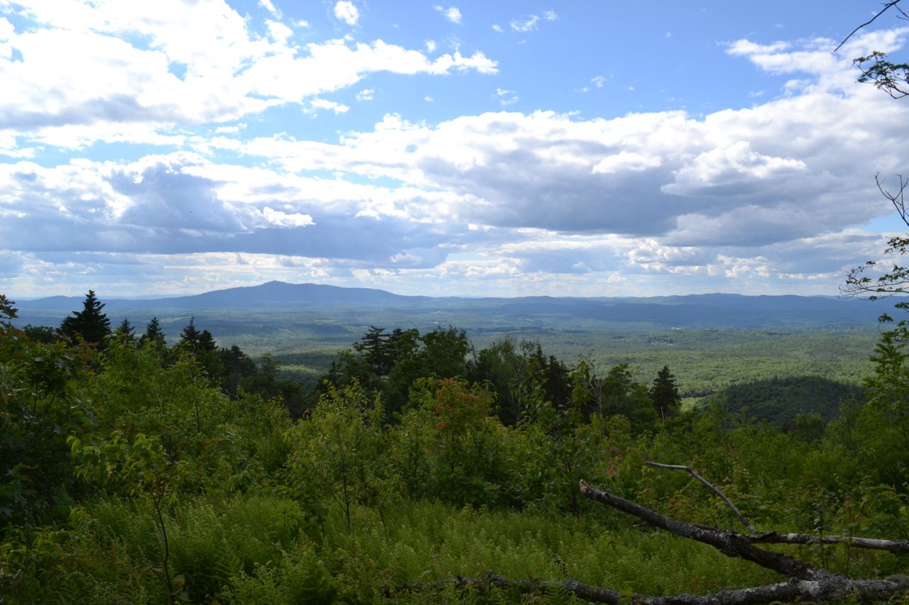
Temple Mountain's southern summit, Burton Peak, features a fine directional view of Mt. Monadnock. To access Burton Peak, you must hike a portion of the popular 21.9-mile Wapack Trail. From the parking area, cross the road and start hiking on the Wapack Trail (This section of the Wapack is also called Cabot Skyline Trail). The trail starts out fairly steep, but soon levels off in 0.35 miles. After the crest of the ridge, the trail passes the Sharon Ledges from a distance. The first viewpoint on these ledges is found at a spur path on the right with a sign for Roger Myrick Outlook and provides views of nearby Kidder Mountain. In another 0.1 miles, another spur leads to more ledges. At the end of the Sharon Ledges, the trail passes a limited viewpoint at a rocky area.
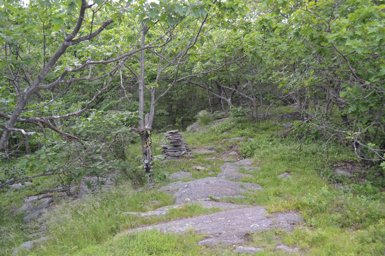
The trail continues across the ridge at almost flat grades, then climbs to a highpoint in half a mile. It dips slightly, then climbs again, reaching a junction with Berry Pasture Trail on the left in 0.25 miles. Continue straight and make the final short climb 0.1 miles to Burton Peak. The cleared summit provides a view to the west of Mt. Monadnock.
Printable directions page